Client:
Location:
Services:
Download:
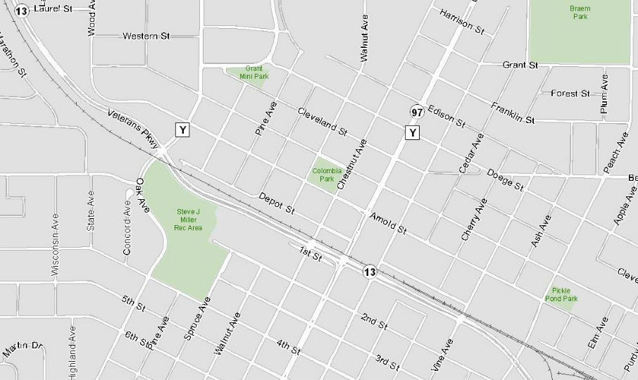
The City of Marshfield is implementing a Land Records Modernization Program. The scope of this includes the following: